
Surveying Drones | Supplier South Africa 

Surveying drones have revolutionized the industry by making data collection faster, more accurate, and cost-effective. These drones capture high-resolution spatial data and create detailed 3D models and topographical surveys with ease. They range from basic models for general mapping to advanced versions with RTK and LiDAR for precise, complex tasks. Selecting the right drone enhances workflow and data quality, transforming how professionals approach surveying.

For any questions and to learn more about our full training programs on using these advanced drones, please contact us.

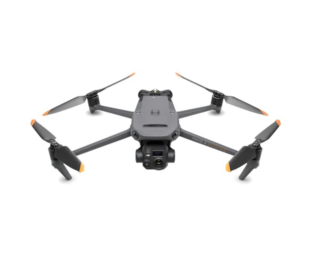
DJI Mavic 3 Enterprise

The DJI Mavic 3 Enterprise is a highly capable drone designed for precise surveying and mapping tasks. It features optional RTK for enhanced georeferencing accuracy.

Key Features: 3D Modelling, topographical terrain surveys.

Use Cases: Construction site mapping, infrastructure inspection, urban planning.

Read more

Surveying Drones South Africa – DJI Mapping, RTK & LiDAR Solutions

Professional Surveying Drones for Accurate Aerial Data

Surveying has moved far beyond manual point-by-point data collection. For many projects, a professional drone can capture large areas quickly, create repeatable datasets and give surveyors, engineers and project teams a detailed view of terrain, structures and site conditions.

SkyFarmers supplies DJI surveying drones in South Africa for professionals who need aerial mapping, photogrammetry, RTK positioning, 3D modelling and LiDAR-capable workflows. Our surveying drone solutions suit land surveying, construction, civil engineering, mining, infrastructure, utilities and geospatial projects.

The right aircraft depends on site size, required accuracy, terrain, payload, operating conditions and the outputs your team needs. SkyFarmers can help you select a DJI enterprise drone that matches the job rather than paying for equipment that doesn’t fit your workflow.

Surveying Drones for Mapping, Measurement and Site Intelligence

A surveying drone is more than a camera in the air. Paired with the correct positioning technology, sensor and processing workflow, it becomes a productive data-capture platform.

Professional drone surveying can support:

  • High-resolution aerial mapping and orthomosaics
  • Topographical surveys and terrain mapping
  • Digital Surface Models (DSM) and Digital Terrain Models (DTM)
  • 3D models and point-cloud generation
  • Construction progress mapping
  • Stockpile and earthworks volume calculations
  • Cut-and-fill analysis
  • Corridor and infrastructure mapping
  • Site planning and development surveys
  • GIS, CAD and BIM-related data workflows

Drone data can also be captured at planned intervals, making it easier to compare changes on active sites.

  • Surveying Drones for Construction and Civil Engineering

    Construction teams need accurate information before work starts and reliable site records as a project progresses. Aerial mapping drones can capture an entire development area from above and produce detailed imagery for planning, measurement and progress comparison.

    For civil engineers, project managers, contractors and quantity surveyors, drone mapping can support earthworks monitoring, road projects, cut-and-fill analysis, site documentation and progress reporting. Repeatable flight plans allow teams to capture the same area at different stages, creating a useful visual and spatial record of work completed.

  • Drone Mapping for Mining, Quarries and Stockpile Measurement

    Mining and quarry environments are well suited to professional drone surveying because sites are often large, active and difficult to measure efficiently from the ground.

    DJI surveying drones can collect data for open-pit mapping, stockpile measurement, terrain modelling, haul-road planning, rehabilitation monitoring and progress surveys. Photogrammetry can create detailed 3D surface models for volumetric analysis, while LiDAR-capable systems can support more demanding terrain-capture requirements.

    For mine surveyors, engineers and operations teams, repeatable aerial datasets can increase the frequency of site measurement while reducing time spent moving personnel through active or hazardous areas.

Surveying Drones for Land Surveyors and Geospatial Professionals

Land surveyors, GIS teams and geomatics professionals need accurate, consistent data that can fit into established technical workflows. RTK-enabled drone mapping systems help improve positional accuracy by applying real-time correction data during flight.

This can reduce the number of ground control points required for certain projects, although project specifications and accuracy requirements should always determine the survey methodology.

Drone photogrammetry is well suited to detailed orthomosaics, surface models, 3D reconstruction and visual site records. LiDAR offers another method where direct distance measurements, dense point clouds or terrain beneath vegetation are important.

Infrastructure, Utilities and Industrial Surveying

Roads, pipelines, power infrastructure, industrial plants, water infrastructure and large facilities can cover long distances or contain areas that are difficult to inspect safely.

Surveying drones provide an efficient way to capture georeferenced aerial imagery across these environments. Depending on the selected DJI platform and payload, the same aircraft may also support inspection, thermal imaging, laser ranging or detailed 3D mapping. This flexibility suits engineering firms, municipalities, utilities, asset managers and industrial operators that want one enterprise drone platform to support several operational requirements.

Which DJI Surveying Drone Is Right for Your Work?

SkyFarmers currently offers surveying solutions across compact and enterprise DJI platforms.

DJI Mavic 3 Enterprise:

The DJI Mavic 3 Enterprise is a practical choice for high-efficiency mapping. Its mechanical shutter, 20 MP wide camera and optional RTK module make it well suited to photogrammetry, construction mapping, terrain surveys and regular site capture. Its portable size also suits teams moving between projects.

RTK, Photogrammetry or LiDAR: Match the Technology to the Job

Different surveying projects call for different capture methods.

  • RTK drones use correction data to improve the positioning accuracy of the aircraft and geotagged images. This is useful for mapping projects where accurate spatial alignment and efficient fieldwork are priorities.
  • Photogrammetry uses overlapping aerial photographs to reconstruct surfaces and produce orthomosaics, 3D models and point clouds. It suits projects where detailed visual information is needed together with measurable spatial data.
  • LiDAR uses laser pulses to measure distances and build dense three-dimensional point clouds. It is particularly useful for complex terrain, vegetation, infrastructure corridors and projects where terrain detail may be difficult to capture using imagery alone.

Before buying, consider site size, vegetation, expected accuracy, flight frequency, processing software, data formats, operating environment and whether the drone will also be used for inspections.

Surveying Drone Supplier in South Africa

Buying a professional drone is an operational investment, not simply a hardware purchase. The value comes from selecting equipment that fits the work your team performs and can be integrated into a practical field and data-processing workflow.

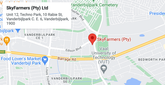
SkyFarmers supplies DJI enterprise and surveying drones to customers across South Africa, with offices in Gauteng, the Western Cape and the Free State. Our team can help survey practices, engineering firms, mines, contractors and technical departments compare suitable platforms based on real project requirements.

If you are looking for surveying drones for sale in South Africa, contact SkyFarmers to discuss your intended applications, site conditions, required outputs and payload needs.

  •  Choose the Right Surveying Drone for Your Projects

    Whether you need a portable photogrammetry drone for routine mapping or an enterprise RTK platform configured for LiDAR and demanding site work, the correct system can improve how quickly your team captures, reviews and uses spatial information.

    Speak to SkyFarmers about DJI surveying drones in South Africa and get help selecting a system for land surveying, construction, mining, engineering, infrastructure or geospatial work.

    Contact SkyFarmers today for productadvice, availability and a quotation on a surveying drone solution suited to your operation.

Contact form